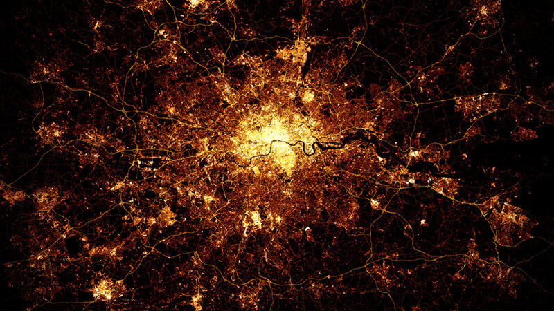
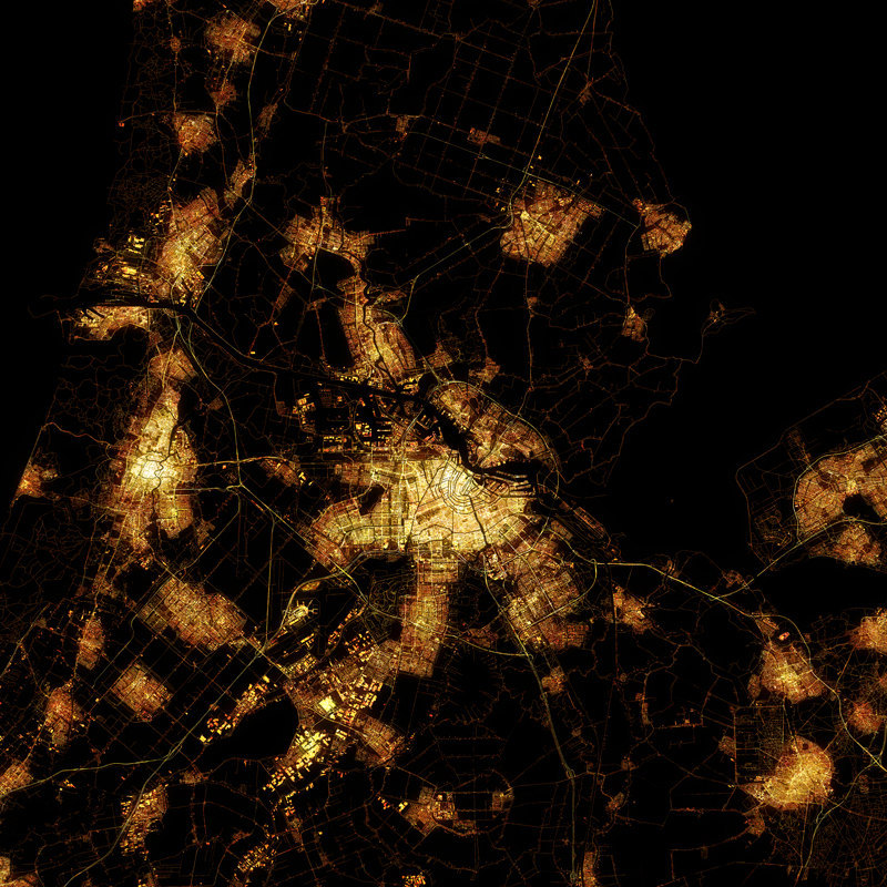
"London"
Prints available for purchase from Etsy. £25
It may look like a distant Nebula photographed by NASA, but it's not. It's a computer generate map modeled using public data. Building and roads (of different types) are carefully coloured to mimic
the effect of streetlights, a number of filters being applied, and
compositing operations carried out, to produce the nighttime “glow.”
Marc was inspired by the amazing photographs of cities at night that Canadian astronaut Chris Hadfield regularly tweeted from the ISS. He’s produced maps for a number of cities. Each city has tended to have been mapped in OpenStreetMap in different ways, so a different treatment is normally needed for each one, to produce the effect. Of course, being maps, rather than photos, the detail is super sharp and you can see individual streets if you look carefully!
Marc was inspired by the amazing photographs of cities at night that Canadian astronaut Chris Hadfield regularly tweeted from the ISS. He’s produced maps for a number of cities. Each city has tended to have been mapped in OpenStreetMap in different ways, so a different treatment is normally needed for each one, to produce the effect. Of course, being maps, rather than photos, the detail is super sharp and you can see individual streets if you look carefully!
"About a year ago, I came across OpenStreetMap data; public data on road and infrastructure from cities all around the world. I was blown away by the wealth of info and toyed with it for six months, before I came up with the idea of replicating the astronauts photos.
I had wanted to print a big poster of the London night shot, but found them all to be too blurry to use, so i downloaded the London OSM data and created a “light map” that I then layered and shone through the data layers. No images were used at all in creating the maps — but I did look at the real photos for reference."
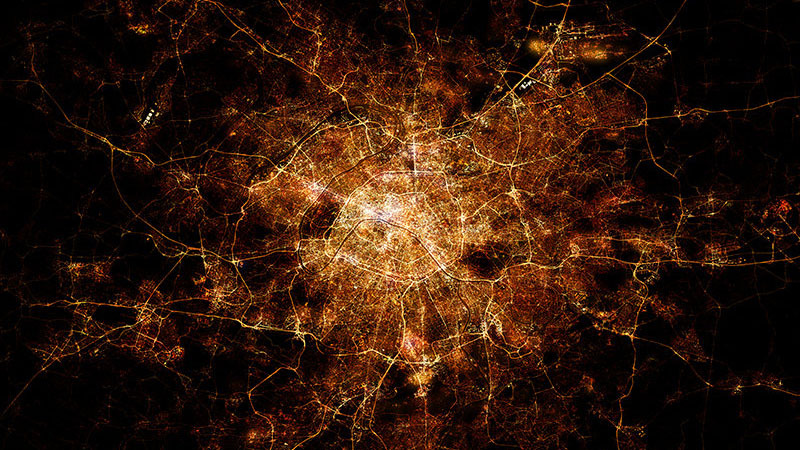
"Paris"
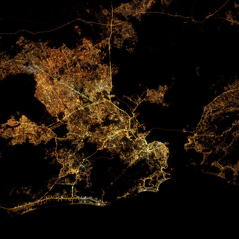
"Rio de Janeiro"
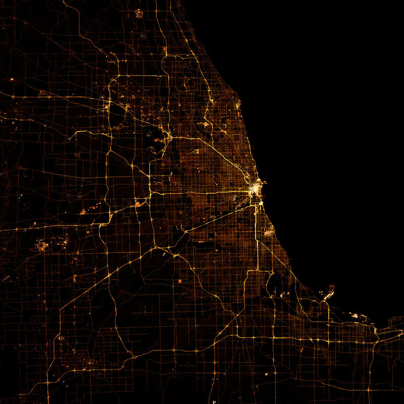
"Chicago"
"Amsterdam"
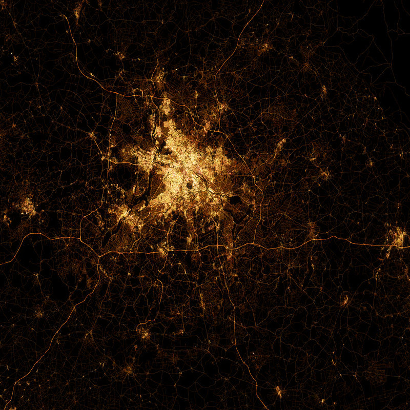
"Berlin"
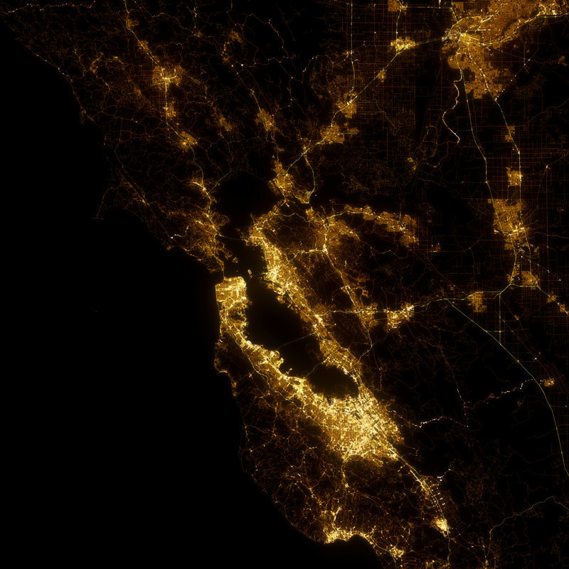
"San Francisco"
No comments:
Post a Comment